But the Bureau of Meteorology predicted another nodule of low pressure circulating to the south-east of the main weather system would swing close to the coast during the evening.
That could deliver another 50-100 millimetres of rain to the South Coast, Illawarra and Sydney, the bureau’s Dean Narramore said. Flash floods remained a risk overnight, the SES warned.
Minor flooding was reported for Nowra along the Shoalhaven River during the afternoon, and moderate flooding was a risk for Sussex Inlet overnight during a high tide.
Minor flooding set in at Menangle and could extend to Penrith and North Richmond along the Hawkesbury-Nepean from Thursday morning, the bureau warned.
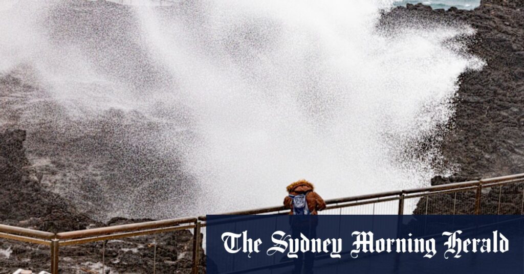
Winds were still strong enough to tear down powerlines and generate 100km/h gusts along the coast from Forster to the Victorian border.
More than 2000 SES members had responded to 3400 calls by 3pm, mostly attending damaged properties and fallen trees.
Loading
About 17,300 properties remained without power on Wednesday afternoon as crews battled to resurrect powerlines in high winds.
At Sydney airport, hundreds of flights were cancelled during the morning, and Transport for NSW asked people to stay off trains where possible.
A tree smashed into a moving train in Kingswood overnight Tuesday, piercing the driver’s cabin. No one was injured.
The state-spanning weather system intensified so explosively that it was dubbed a “bomb cyclone”, a term for a system that rapidly plunges in pressure, quickly generating thunderstorms and vicious winds.
Despite a second surge of squally weather, the bureau expects much of the NSW coast will awaken to sunshine on Thursday morning.
Start the day with a summary of the day’s most important and interesting stories, analysis and insights. Sign up for our Morning Edition newsletter.
Read the full article here


