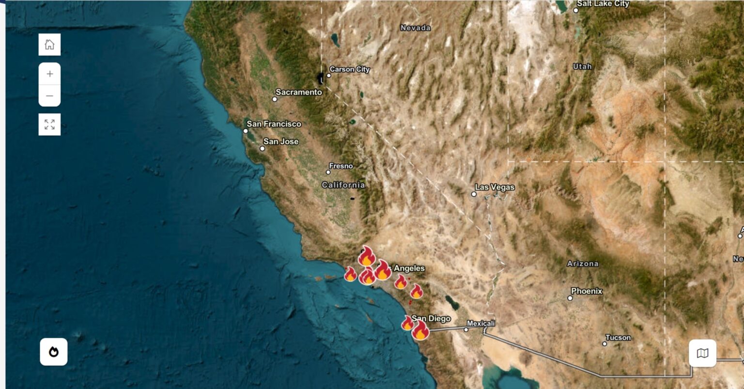
A big weather pattern change could bring up to 3 inches of rain to parts of Southern California, a needed respite from the extremely dry weather that has fueled numerous wildfires throughout the area.
Newsweek reached out to AccuWeather by email for comment.
Why It Matters
Many Southern California cities are inches behind their average rainfall for the water year, which begins on October 1. The lack of moisture has contributed to dry fuels that are easily consumed by wildfires. Multiple wildfires have sparked this month, covering thousands of acres and killing at least 28 people.
Strong winds contributing to the rapid spread of flames will die down by Friday, followed by a storm system that will bring a welcome respite of rain.
What To Know
According to the California Department of Forestry and Fire Protection (Cal Fire), wildfires are currently burning in Santa Clarita, Oxnard, Los Angeles, Riverside and San Diego.
Most of those areas are also expecting up to 1 or 2 inches of rain this weekend, according to a map published by AccuWeather.
The rainfall map anticipates that widespread amounts of a half-inch to an inch of rain will fall from Santa Barbara south through San Diego. There are pockets of areas expecting up to 2 inches of rain, as well, with some areas seeing amounts as high as 3 inches.
The rain will begin to fall late Saturday night and last through Monday morning. The strongest rain will likely fall on Sunday, AccuWeather reported.
The rain brings many positives to the fire-stricken area, including dampening dry vegetation and helping improve air quality by clearing ash, particulates and dust out of the air, AccuWeather reported.
However, it also comes with a few hazards.
Experts have warned that burned areas can “significantly increase” flash floods, mudflows and debris flows.
A burn scar can increase the flash flood and debris flow risk for years, according to the National Weather Service (NWS).
It’s not uncommon for rainstorms in Southern California to come with downpours, which could contribute to mudflows in the burned areas, particularly in the mountains.
The biggest threat areas for mud flows and debris flows will be around the Palisades and Eaton fires, AccuWeather senior meteorologist Dave Houk said.
What People Are Saying
Houk told Newsweek: “Through Saturday night, we don’t think [mudslides] are in the cards, as most of the rain will be light and spottier. But once we get into Sunday and into Sunday night, there’s the potential that rainfall rates could become high enough that we could have some mud flows and debris flows in those burn scar areas.”
AccuWeather Senior Meteorologist Heather Zehr, in a report: “Where downpours linger for more than a few minutes, such as from a thunderstorm, the risk of localized debris flows will increase, especially in recent burn scar locations, where there is no vegetation left to hold back the runoff.”
What Happens Next
Despite the incoming rain and mountain snow, the NWS Climate Prediction Center precipitation outlook shows that Southern California is expecting drier-than-normal conditions for the next two weeks.
Read the full article here


