


The end may be near for the “End of the World” as we know it.
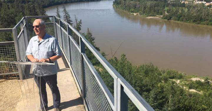
Keillor Point — which for years was also known as “End of the World” — sits at the top of the riverbank in the Belgravia neighbourhood.
It’s above the remains of Keillor Road, which was closed to traffic in 1994 before crumbling into the river valley due to erosion.
Now, the City of Edmonton says what claimed the road three decades ago is now affecting the viewpoint below Saskatchewan Drive, between 74 Avenue and 76 Avenue.
This summer’s record-setting rainfalls in June and July worsened the slope instability at the Keillor Point viewing area, which the city built into an official…
Read the full article at GLOBALNEWS.CA