


Parts of Hawaii have been issued a winter storm warning as up to 16 inches of snow and strong, blustery winds are likely to create “zero visibility” conditions. Alongside this, other parts of the U.S. are also expected to see wintry conditions from Sunday and Monday, according to the National Weather Service (NWS).
Hawaii’s Winter Storm Warning
The NWS has issued a winter storm warning for the Big Island volcanic summits of Mauna Kea and Mauna Loa, which will remain in place from early Sunday morning into late Monday afternoon.
According to forecasts, the storm will bring between 10 and 16 inches of snow and winds reaching 45 mph. This is expected to cause periods of blowing snow, making travel “very hazardous or impossible” at times, “with periods of zero visibility.”
The NWS for Hawaii has advised that any travel plans to either summit should be postponed until conditions improve and the “threat diminished.”
Other States Affected by Winter Weather Warnings
New York, Alaska, and California have been issued winter weather warnings by the NWS, from Sunday or Monday, lasting, in some cases, through to Wednesday.
New York
Cortland, Onondaga, Seneca, southern Cayuga, and Tompkins Counties could get up to 2 inches of snow by Sunday morning. Winds reaching 35 mph are also likely to create blowing and drifting snow, affecting travel, with the NWS urging travelers to slow down, use caution, and “be prepared for slippery roads.”
Niagara, Orleans, northern Erie, and Genesee Counties could see up to 2 inches of snow by Sunday afternoon—the greatest amount of snow accumulation is expected to fall near the Lake Ontario shoreline—with roads, bridges, and overpasses likely to become “slick and hazardous.”
Monroe, Wayne, northern Cayuga, Oswego, and Ontario Counties could get between 2 and 4 inches of snow by Sunday afternoon, which will result in “snow-covered roads and limited visibilities.”
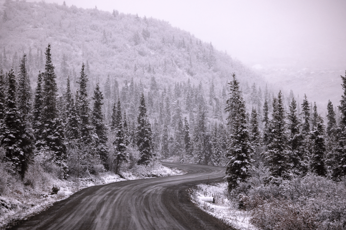
Alaska
Parts of central Copper Valley and Tok Cutoff could get between 12 and 20 inches of snow overnight Saturday, through Sunday, lasting until late Monday afternoon.
The upper Tanana Valley could get up to 8 inches of snow by Tuesday afternoon, with up to 1 foot of localized snow expected to fall near the eastern Alaska Range and the Robertson River.
California
Communities in parts of central California should brace themselves for up to 18 inches of snow in areas above 7,000 feet and up to 10 inches of snow above 6,000 feet from Monday night, lasting until Wednesday afternoon, with the heaviest amount expected to fall throughout Tuesday. Winds reaching up to 50 mph are also likely to make travel “very difficult to impossible,” especially impacting the Tuesday morning and evening commutes.
Areas above 5,000 feet across the western slopes of the northern Sierra Nevada and the western Plumas County—including Lassen Park—could get anywhere between 4 and 18 inches of snow from Monday, lasting until Wednesday, with the heaviest amount falling throughout Tuesday.
The NWS has said, “Mountain travel could be very difficult Tuesday into Wednesday. Plan for delays and chain controls.”
The greater Lake Tahoe area is expected to get up to 18 inches of snow in places above 7,000 feet, up to 6 inches at lake-level, and up to 8 inches of snow along and west of Highway 89 from Monday evening into Wednesday afternoon. Winds reaching up to 70 mph along the Sierra Crest are expected to generate waves as high as 3 feet on the lake itself. The NWS has advised that “small boats, kayaks, and paddle boards will be prone to capsizing and should remain off lake waters until conditions improve.”
From Monday into Wednesday, Mono County is forecast to get up to 8 inches along and just west of Highway 395 from June Lake to Mammoth Lakes, up to 18 inches along the Sierra crest, along with 70 mph wind gusts.
Read the full article here


