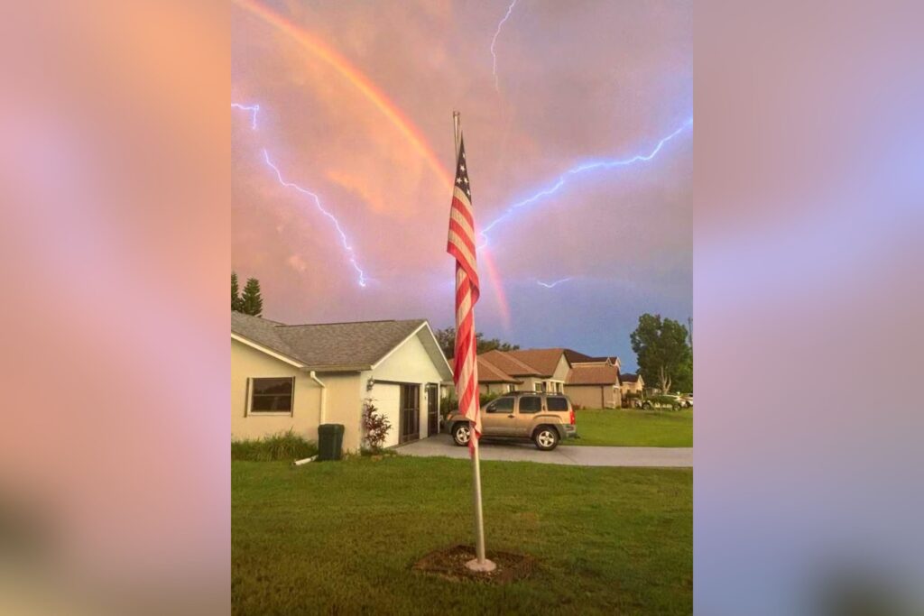
Striking images and video shared on social media captured the dramatic sight of lightning and rainbows lighting up the Florida sky.
The Context
The southwest Florida coast was forecast to see multiple rounds of slow-moving showers and thunderstorms by the National Weather Service (NWS) on Thursday. The agency warned that several inches of rainfall was possible, potentially leading to flash flooding in urban areas.
What To Know
The images were posted Thursday by WINK News chief meteorologist Matt Devitt on X, formerly Twitter.
“WOW! Incredible lightning and double rainbow combo this evening in Southwest Florida,” Devitt said of the first image.
“Amazing rainbow and lightning combo illuminating the sky this evening in Port Charlotte, Florida,” read his post accompanying the second.
The NWS said it issued a flood advisory for the Naples metropolitan area after heavy rainfall developed. The service said this followed between 2 and 4 inches of rain.
On Friday, the NWS forecast office in Miami said that more showers and thunderstorms were expected in the afternoon, primarily across interior and western South Florida. Much of the region would be hot and humid, with highs in the low 90s, it said.
What People Are Saying
NWS Miami, Thursday on X: “A pinned gulf breeze combined with ample atmospheric moisture will result in the potential of heavy rainfall & localized flooding along the Gulf coast of South Florida as slow moving showers and storms develop. Lightning & gusty winds are also possible with storms!
“Over the last several weeks, the focus of afternoon showers and storms has been across southwestern Florida while mainly dry conditions have continued along the east coast metro. Why? Slightly stronger easterly flow thanks to the persistent influence of the Bermuda High.”
Meteorologist Matt Devitt, Thursday on X: “Classic, rainy season day in Southwest Florida with big rainfall amounts. 2 – 5″ for many communities, leading to street flooding. More storms Friday too!”
What Happens Next
Elsewhere in the U.S., a heat wave is expected to bake swaths of the country from the Midwest to the East Coast starting Friday, with about one-third of the country set to contend with challenging temperatures, according to forecasters at AccuWeather.
Meteorologist Adam Douty told Newsweek that this stretch of heat will intensify over the Plains and Midwest through the weekend, shifting to the East by early next week. While temperatures are expected to ease in the middle or late next week, highs will still stay above normal in many regions, he said.
Read the full article here


