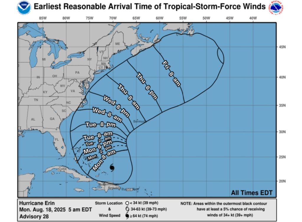
Tropical storm-force winds from Hurricane Erin could hit coastal North Carolina by Wednesday, a forecast map from the National Hurricane Center (NHC) shows.
Newsweek reached out to the NHC by email for comment.
Why It Matters
As of Monday morning, Hurricane Erin is a Category 4 storm with maximum sustained winds of 130 mph. The storm has weakened slightly after hitting Category 5 strength over the weekend.
Erin is the first hurricane to form during the Atlantic hurricane season, as well as the first major hurricane.
What To Know
The storm is bringing tropical storm conditions to the Turks and Caicos and parts of the Bahamas on Monday. Erin’s path is forecast to take a northward turn, taking it away from the U.S., but the NHC warned that some parts of the East Coast can still expect life-threatening impact.
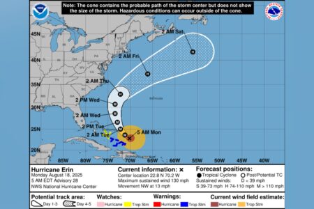
Although Hurricane Erin is not expected to make landfall in the U.S., hurricane-force winds currently extend outward of 80 miles from the storm’s center, with tropical storm-force winds extending as far as 230 miles from the center.
A map showing the most likely arrival time of tropical storm-force winds revealed that coastal North Carolina has a small chance of experiencing such winds, which are measured as 39 mph or stronger, by Wednesday as the storm passes by the U.S.
“Interests along the Outer Banks of North Carolina and Bermuda should monitor the progress of Erin as there is a risk of strong winds associated with the outer rainbands during the middle part of the week,” a NHC forecast said.
In addition to tropical storm-force winds, other dangerous threats will also likely impact the U.S.
“Erin is expected to produce life-threatening surf and rip currents along the beaches of the Bahamas, much of the east coast of the U.S., Bermuda, and Atlantic Canada during the next several days,” the NHC said.
What People Are Saying
The NHC, in a public advisory about Erin: “Erin is moving toward the northwest near 13 mph. A gradual turn to the north is expected later today and on Tuesday. On the forecast track, the core of Erin is expected to pass to the east of the southeastern Bahamas today and move between Bermuda and the east coast of the United States by the middle of the week.
“Erin is a Category 4 hurricane on the Saffir-Simpson Hurricane Wind Scale. Some additional strengthening is expected today. Erin will remain a dangerous major hurricane through the middle of this week.”
What Happens Next
Meteorologists will continue to monitor Hurricane Erin as it progresses. People in the impacted areas, including the U.S. East Coast, should follow local weather guidance as the storm develops.
Read the full article here


