


: ‘Pretty Woman’ and More")


This is the calm before the deadly storm.
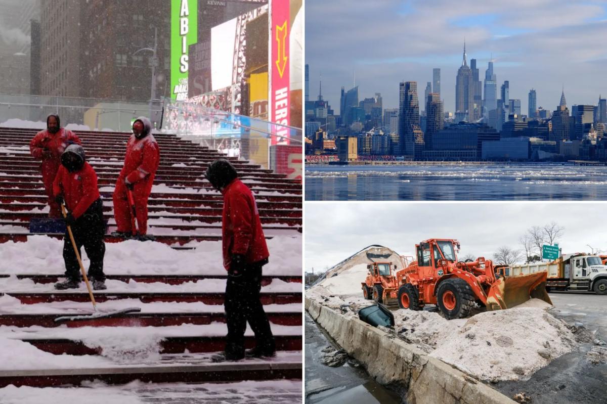
New York City is facing its first blizzard in more than a decade — as a powerful nor’easter bears down on the northeast.
The Big Apple is expected to get 12 to 18 inches, with a possibility for two feet.
Eastern Long Island and the Jersey Shore could get more than 24 inches.
The first blizzard warning since 2017 hits at 1 p.m.
Snow is expected to start falling shortly thereafter Sunday afternoon and will hit 1-2 inches an hour late Sunday into Monday.
Accompanying the heavy snow, set to be even greater than last month’s nasty dump, forecasters are predicting the winter storm will bring dangerous winds of up to 55 mph.
That could cause whiteout conditions making “travel treacherous and potentially life-threatening,” the weather service said.
“The strong winds and weight of snow on tree limbs may down power lines and could cause sporadic power outages.”
For the first time on record, all 22 counties in New Jersey are under a blizzard warning, with experts predicting the conditions cause life-threatening conditions on the road.
Coastal flood warnings are also in place in New York, Long Island and the Jersey Shore.
“While we do get plenty of these nor’easters that produce heavy snow and strong impacts, it’s been several years since we saw one of this magnitude across this large of a region in this very populated part of the country,” Cody Snell, meteorologist at the National Weather Service’s Weather Prediction Center told AP.
Mayor Mamdani warned that the weather predictions had changed for the worst last minute, but held off on announcing whether schools in the city would open Monday.
“We saw on Friday that there was an expectation that the likelihood was that we were going to face maybe 3 to 4 inches of snow. Quickly that then changed,” Mamdani said. “So we want to make sure that we make a decision based on up-to-date and accurate information.”
With Post wires.
Read the full article here


