


“Ahead of the passage of a cold front, you usually get heat because the winds come northerly and they draw heat from inland Australia,” Park said.
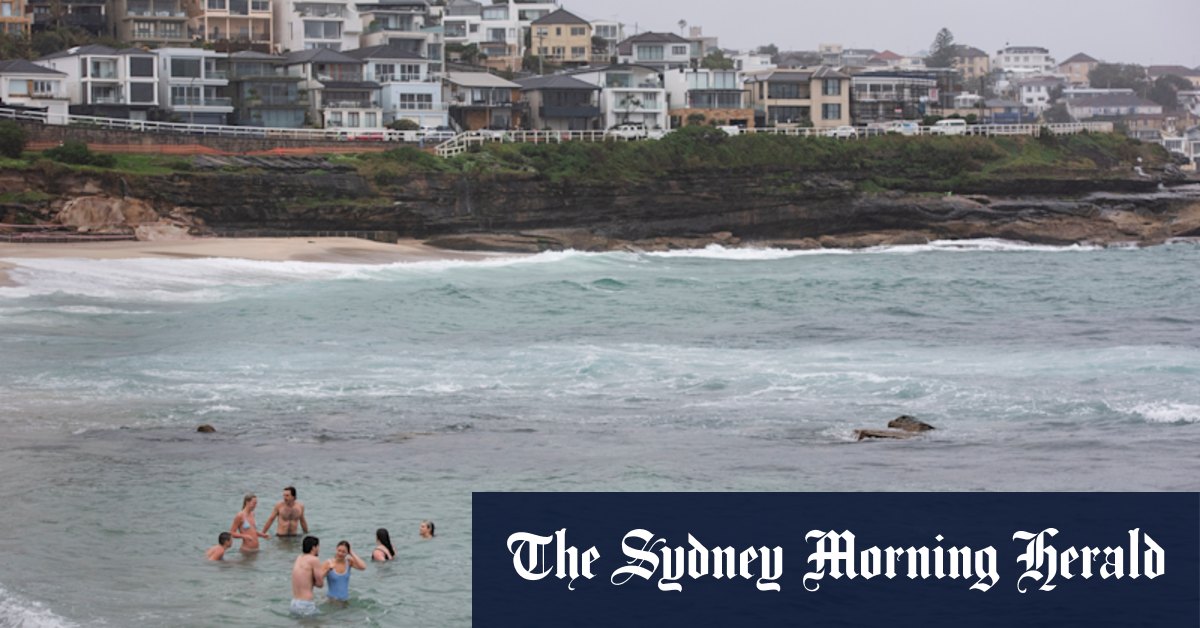
The cold front has now arrived, bringing with it wet and windy conditions and a 10-degree drop in temperature.
Meanwhile, much of the state’s coastal south-east is under a severe weather warning with heavy rainfall bringing the risk of flash flooding on Wednesday afternoon.
Totals of up to 140mm across the day are possible in parts of the Illawarra, northern South Coast and Southern Tablelands, with dumpings of up to 100mm expected within a six-hour period. Major hubs expected to be affected include Wollongong, Nowra, Batemans Bay, Goulburn, Bowral and Braidwood.
The heavy rainfall is being delivered by a complex low that is moving over that part of the state, and will move offshore around Jervis Bay by Thursday morning.
A severe weather warning for heavy rainfall is in place for resident of the Illawarra and parts of South Coast and Southern Tablelands Forecast Districts.Credit: Bureau of Meteorology
NSW SES warns residents to avoid floodwaters, creeks and storm drains. The region also faces unique risks because of bushfire damage, with runoff from rainfall behaving differently in fire-affected areas.
Runoff water can travel more quickly and contain debris, including ash, soil, trees, and rocks. The loss of foliage also heightens the risk of landslides when heavy rain makes the ground soft and heavy.
Start the day with a summary of the day’s most important and interesting stories, analysis and insights. Sign up for our Morning Edition newsletter.
Read the full article here


