


United States satellites recently captured “crystal-clear” images revealing increased Chinese activity in space, as both powers race to dominate this domain beyond Earth’s atmosphere.
Maxar Technologies, a Colorado-based satellite imagery company, told Newsweek that its non-Earth imaging (NEI) capability provides what it describes as “advanced visual intelligence” of any object in Earth’s orbit by capturing “very high-resolution” images.
Newsweek reached out to the China National Space Administration for comment via email.
Why It Matters
China is advancing several programs as the East Asian power pushes for supremacy in space, including building a network of 16 space-enabling facilities in Latin America, operating the Tiangong Space Station, and planning to send astronauts to the moon by 2030.
Facing growing challenges from China, the U.S. Space Force was established in 2019 to maintain American superiority in space. In April, a U.S. military satellite capable of maneuvering near objects in orbit was tracked buzzing a pair of Chinese satellites.
What To Know
Earlier this month, Maxar Technologies shared images of the Tiangong Space Station and the International Space Station, captured by one of its WorldView Legion satellites, on social media, saying that it is “unleashing a new era of high-fidelity, space-to-space imaging.”
The level of resolution and structural clarity in these images opens new possibilities for monitoring orbital activities, the company said. “This isn’t just a technical achievement; it’s a critical capability for space domain awareness and monitoring activity beyond Earth.”
These images of the ISS and China’s Tiangong Space Station were collected by one of Maxar’s WorldView Legion satellites—showcasing our ability to image mid-inclination orbits with unmatched clarity.
With sub-10 cm SSD and rapid tasking, we’re unlocking new capabilities in space… pic.twitter.com/VISPVvOR5w
— Maxar Technologies (@Maxar) July 1, 2025
Susanne Hake, general manager of Maxar Intelligence’s U.S. Government business, later shared on social media what she described as a “crystal-clear picture” of the Chinese optical remote sensing satellite ShiJian-26, captured on June 3 by the company’s WorldView Legion satellites.
“This type of resolution is revolutionary for space situational awareness,” said Hake, adding that ShiJian-26 is one of China’s latest-generation optical reconnaissance satellites, and that the ability to photograph it this clearly marks a new era in satellite-to-satellite observation.
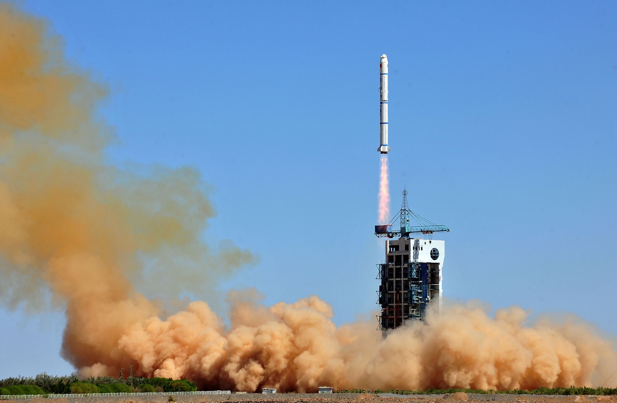
According to Chinese state media, the ShiJian-26—reportedly “mainly used” to provide information services supporting national economic development—was launched aboard a rocket on May 29, a few days before it was photographed in orbit by Maxar Technologies.
Marco Langbroek, a lecturer at the Faculty of Aerospace Engineering at Delft University of Technology in the Netherlands, explained to Newsweek that space domain awareness, or space situational awareness, refers to “keeping an eye on what is happening in space.”
This includes activities ranging from tracking active payloads and space debris to analyzing collision avoidance, predicting reentries, and characterizing objects—the latter providing information about “satellite function, behavioral intent, and predicting future behavior.”
“We have to keep a close eye on what is happening in space to avoid problems, and to keep active parties in space accountable for what they are doing,” said Langbroek, when asked about the importance of space situational awareness amid increasing space activities.
Regarding the “clearest NEI” Maxar Technologies has ever collected, the images provide clues about the function and capabilities of the Chinese satellite, Langbroek said, and that differences from previously launched satellites may hint at upgrades in its capacity and technology.
What People Are Saying
Susanne Hake, general manager of Maxar Intelligence’s U.S. Government business, wrote on LinkedIn: “As space becomes increasingly crowded with thousands of new satellites from multiple nations, we can now monitor satellite operations, detect modifications or threats, and provide near real-time intelligence on space-based assets in unprecedented detail.”
Maxar Technologies told Newsweek: “NEI supports critical missions such as satellite commissioning, anomaly resolution, orbital threat assessments, and rendezvous and proximity operations (RPO).”
According to the U.S. Space Force, RPO enables the space vehicle to maneuver near a space object, allowing for characterization of anomalies and enhanced surveillance.
Marco Langbroek, lecturer at the Faculty of Aerospace Engineering at Delft University of Technology, told Newsweek: “Space technology has become increasingly vital for both the military and civil society. Our modern society and economies could not function without, nor can the modern military. Both military and as a society, we have therefore become very vulnerable to anything going wrong in the space domain.”
What Happens Next
China’s increasing space activity remains under close observation. Recently, two Chinese satellites reportedly docked in high orbit for the first time to allow refueling and servicing, extending their operational lifespan and supporting sustainable long-term operations.
Read the full article here


