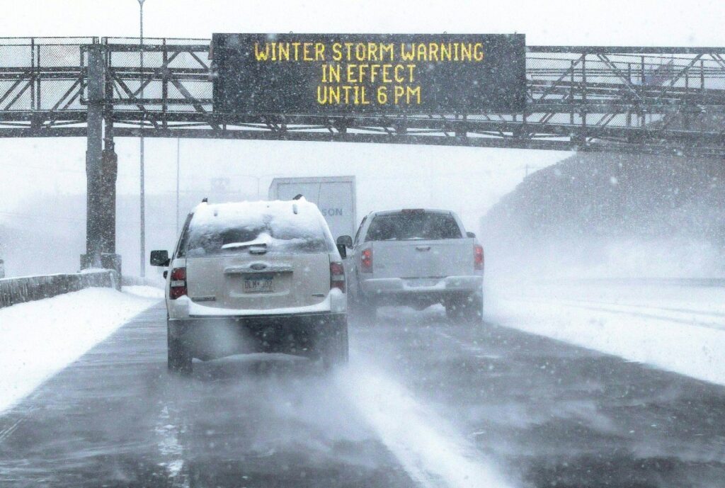
Heavy snow and blustery winds are expected to hit parts of the U.S. from Wednesday through to Thursday evening—and in some cases into Friday morning—which, according to the National Weather Service (NWS), could bring up to 24 inches of snow to certain areas.
Why It Matters
High levels of snow and wind can impact roads, causing potential closures and making driving “very difficult.” The NWS has warned drivers to take extra care during morning and evening commutes, especially on Thursday. Residents in affected areas are also being advised to “prepare their property” for upcoming winter weather, as freezing temperatures, snow, and wind can potentially lead to slippery driveways and paths, damaged outdoor water pipes and roofs, and heat loss in inadequately insulated homes.
What To Know
Sheep Range and Spring Mountains in Nevada should prepare for between 16 and 24 inches of snowfall in areas above 9,000 ft by Wednesday morning, making travel “difficult to impossible,” particularly along State Routes 156, 157, and 158.
In Colorado, up to 8 inches of snow is expected across the southwest San Juan Mountains and also the eastern San Juan Mountains, above 10000 ft, by Thursday night.
The northern and southern Sangre de Cristo Mountains in New Mexico should also expect to see up to 8 inches in areas above 11,000 ft from Thursday into early Friday morning.
The Klondike Highway, north of MP 5, could get up to 6 inches of snow and reduced visibility of one mile or less from midday on Wednesday to Thursday morning. Haines Highway, especially near Haines Customs, could also get up to 6 inches throughout Wednesday.
Areas in the eastern Norton Sound and Nulato Hills, lower Yukon River, Yukon Delta Coast, Noatak Valley, Kivalina and Red Dog Dock, lower and upper Kobuk Valleys, Baldwin Peninsula, the northern Seward Peninsula, Bering Strait Coast, and Diomede could see between 1 to 4 inches of snow, with strong winds gusts blowing between 40 and 45 mph, which could lead to blizzard-like conditions and a reduction in visibility, lasting until Thursday morning.
The Interior Seward Peninsula and the southern Seward Peninsula Coast could get up to 7 inches with 40 mph winds, and St Lawrence Island could get 50 mph winds with up to 4 inches of snow.
In Utah, the southern mountains, including Pine Valley, Brian Head, and Boulder, could get up to 8 inches in the highest regions by Wednesday morning
What People Are Saying
The NWS has issued the following warning to drivers in affected areas: “If you must travel, keep an extra flashlight, food, and water in your vehicle in case of an emergency. The latest road conditions for the state you are calling from can be obtained by calling 5 1 1.”
What Happens Next
The NWS is urging those in affected areas to monitor local forecasts for updates, as conditions can rapidly change, and if they have to travel, check road conditions before they set off, drive cautiously, and leave plenty of extra time for their journey.
Read the full article here


