



Landslides in the United States cause billions of dollars of damage and can take dozens of lives each year. In Appalachia, a hotspot of landslides, that hazard is exacerbated by poverty, new research shows.
A new study, published July 29 in Earth’s Future, is one of the first to break down the socioeconomics of who lives with landslides in the United States. The researchers found that people living where landslides are most likely to occur are those who are least able to afford to move or to mitigate that risk.
“It’s a really important advance,” said Ben Mirus, a geologist with the U.S. Geological Survey in Golden, Colo., who led the agency’s 2024 landslide mapping but was not involved in the new study. “Once you have a map of where landslides are, you want to look at why and where they matter.”
Populations are exposed to landslide hazards in places where a landslide will likely occur (called susceptibility) and where it will hit infrastructure such as homes, workplaces and roads. The study looked at landslide susceptibility from high (very likely to occur) to low (less likely), overlaid that hazard with homes in those locations, and assessed the socioeconomic status of those locations.
At least 6.5 million people in the United States live with high landslide risk, the study found, and that’s a conservative estimate. Including populations with medium landslide risk increases that count by millions, corroborating preliminary U.S.G.S. estimates of populations exposed to landslides.
“There are many landslide stories across the U.S.,” says Joe Wartman, a geotechnical engineer at the University of Washington in Seattle. Wartman and colleagues found the highest risk in places with both dense populations and steep slopes.
In Appalachia, the study tells a grim tale. At least 3.6 million people there — including a high density of lower-income people — live in landslide-prone areas, making up 55 percent of the national total of people exposed to landslides, the study found. The steeply walled valleys are lush thanks to heavy rains, and communities live either on those slopes or in the valley floors below, where the rocks, mud and debris from landslides end up.
West Virginia stands out: 20 percent of its population lives in high-risk areas, compared to the 2 percent national average.
In sharp contrast, residents of cities in high-risk zones are more often wealthy. Some homeowners in Los Angeles or Seattle, for example, are among at least 1.7 million living with high landslide risk in West Coast mountainous regions. They’re more likely to have access to engineering solutions to reduce landslide risk, or to move or rebuild after a disaster.
“It’s very difficult to mitigate and to manage landslide hazards across the vast terrain of the U.S.,” Wartman said. The new map “gives us the ability to really hyper-localize and focus, to an extraordinary degree, on those who are most in danger.”
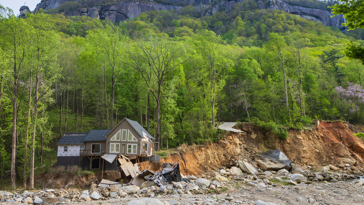
Despite the utility of landslide mapping, it’s not ubiquitously popular. Some property owners and industries push back against such efforts because of concerns that if landslide hazards are mapped, property values will drop. In 2011, lobbying halted North Carolina’s statewide landslide mapping effort. It was inactive for six years, and geologists there were working to make up for the lost time when Hurricane Helene hit in 2024, triggering more than 9,400 landslides, mostly in the state, per the U.S.G.S.
More recently, there has been pushback from homeowners to landslide mapping in both Juneau and Sitka, Alaska, although, there is little evidence supporting concerns of landslides impacting property values, Mirus said. Still, the work continues, and experts hope that continued landslide mapping will improve public safety for individuals and communities alike. The more information there is, Mirus says, “the better decisions people can make.”
Read the full article here